- The Forgotten Female Voices of American History - October 15, 2026
- The Assassination of Robert F. Kennedy: A Look Back 57 Years Later - October 15, 2026
- 20 Songs That Reflected America’s Changing Gender Roles - October 15, 2026
The postcard version of a national park is simple: big views, fresh air, easy miles. The trail version comes with canisters, closures, shifting weather, and a few rules that surprise even experienced travelers.
These 19 lessons are the ones people usually learn at the trailhead, often with a mildly panicked look at their pack. Some are practical, some are strange, and the last one may change how you plan your next trip.
#19 – Mandatory Bear Canisters in Sequoia Backcountry
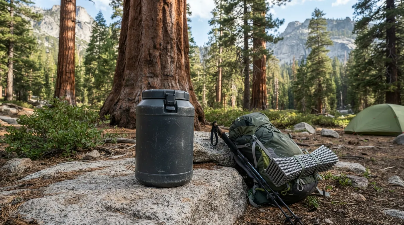
You pack a stuff sack, feel prepared, and then learn that a hung bag doesn’t count. In much of Sequoia and Kings Canyon’s backcountry, hard-sided bear-resistant canisters are required.
The reason is simple. Black bears there have learned what a backpack means: dinner. A soft bag is an invitation, not a barrier.
The surprise lands when you try to pack one. Canisters are bulky and heavy, and they ride in your pack like a plastic bucket. You also need to use one every night, even on a short overnight trip.
Skip it and you risk a citation. You also risk teaching a bear that your campsite is a vending machine, which is exactly the habit the rule is meant to stop.
#18 – Flash Flood Timing in Zion Narrows
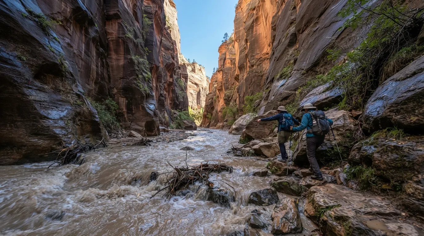
The sky above you is a perfect, innocent blue. That is exactly what makes the Narrows tricky. Rain falling miles upstream can send water surging through the canyon while you’re still standing in sunshine.
Zion’s rangers watch forecasts and river conditions, post a flash flood potential rating, and close the route when the risk climbs. Even so, conditions can change faster than any posted notice.
Inside, the walls become part of the problem. They block your view of distant storms and can muffle warning sounds, so trouble may arrive before you see it.
Experienced hikers watch for muddy water, rising levels, and sticks or debris floating past. They also keep an eye out for high ground, because in a slot canyon, later can be too late.
#17 – Altitude Effects at Rocky Mountain Trailheads
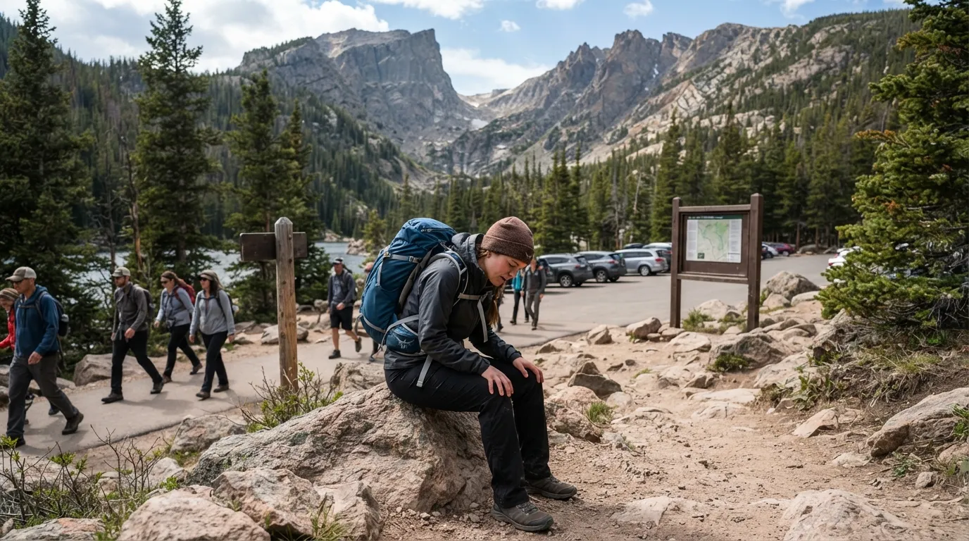
Most people picture altitude trouble as a summit problem. Then you climb out of the car at a Rocky Mountain trailhead and your head already feels strange. Bear Lake sits around 9,450 feet, higher than many visitors have ever hiked.
Arrive from sea level the same day and an easy walk can feel like a hard one. The trail looks gentle. Your lungs disagree.
Altitude doesn’t play fair. It can hit people differently, and a strong hiker may feel worse than someone slower and less fit.
Drinking water, slowing down, and giving yourself time to adjust all help. Some hikers still turn around after the first mile, and that’s a smart call. The mountains will be there tomorrow.
#16 – Half Dome Cable Lottery Realities
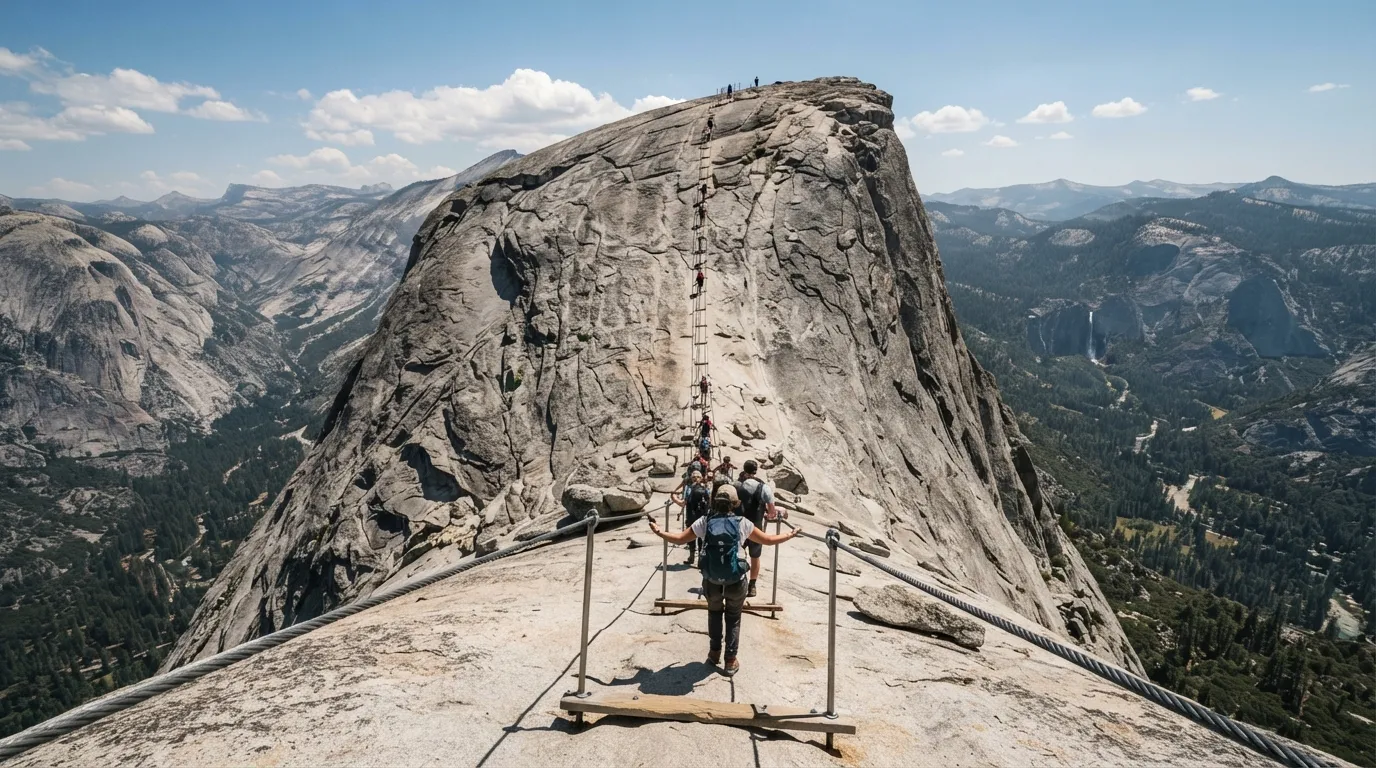
Plenty of people build a Yosemite trip around Half Dome and assume the hard part is the climb. The hard part is getting permission. When the cables are up, you need a permit to climb them, and demand is fierce.
Fast Facts
- The round trip from the valley floor runs roughly 14 to 16 miles, depending on your route.
- Expect about 4,800 feet of elevation gain.
- Yosemite caps daily Half Dome access at 300 hikers.
- The cables are usually up from late May to mid-October, weather permitting.
Yosemite runs a preseason lottery, plus a daily lottery two days before the hike for any leftover permits. Many applicants strike out both times.
That makes the trail oddly emotional. You can train for months, grind up the long miles, and still be turned around if you don’t have the paper in hand. Rangers check permits along the route.
The smart move is to plan a version of the trip where Half Dome doesn’t happen. Having a backup hike with big views, such as Clouds Rest, can save the whole vacation.
#15 – Bison Distance Rules in Yellowstone
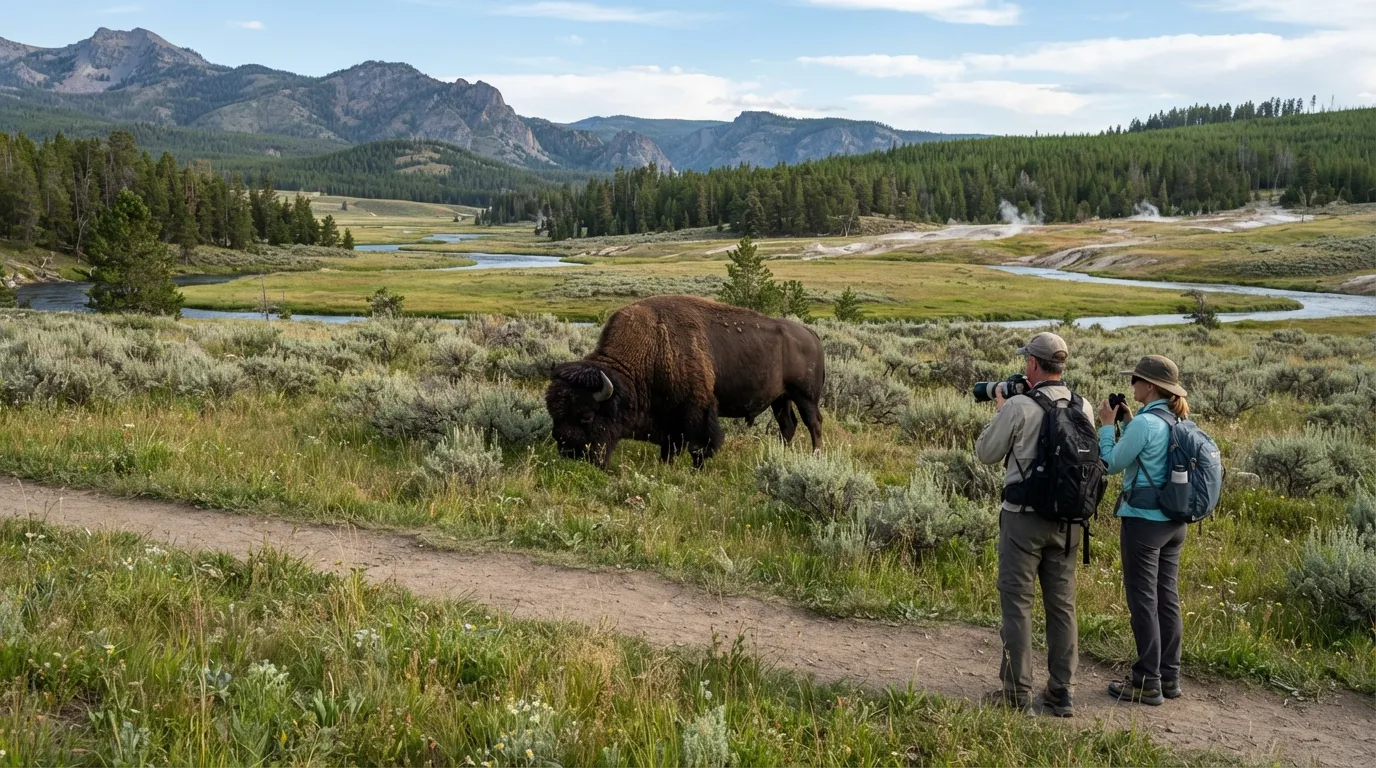
Bison look like shaggy, sleepy cattle. That mistake is why people drift closer for a better photo. In Yellowstone, the rule is to stay at least 25 yards from bison, and that’s a minimum, not a comfortable buffer.
An adult bison can sprint around 30 miles per hour, and open meadow gives you nowhere to hide. Visitors get hurt by animals that looked perfectly calm a moment earlier.
Watch the animal, not your camera. A raised tail, lowered head, snorting, or pawing means you are already too close.
If a herd settles onto the trail, wait it out or turn back. Getting too close can also earn you a citation, but that’s the least of your problems.
#14 – Rockfall Zones in Yosemite Valley
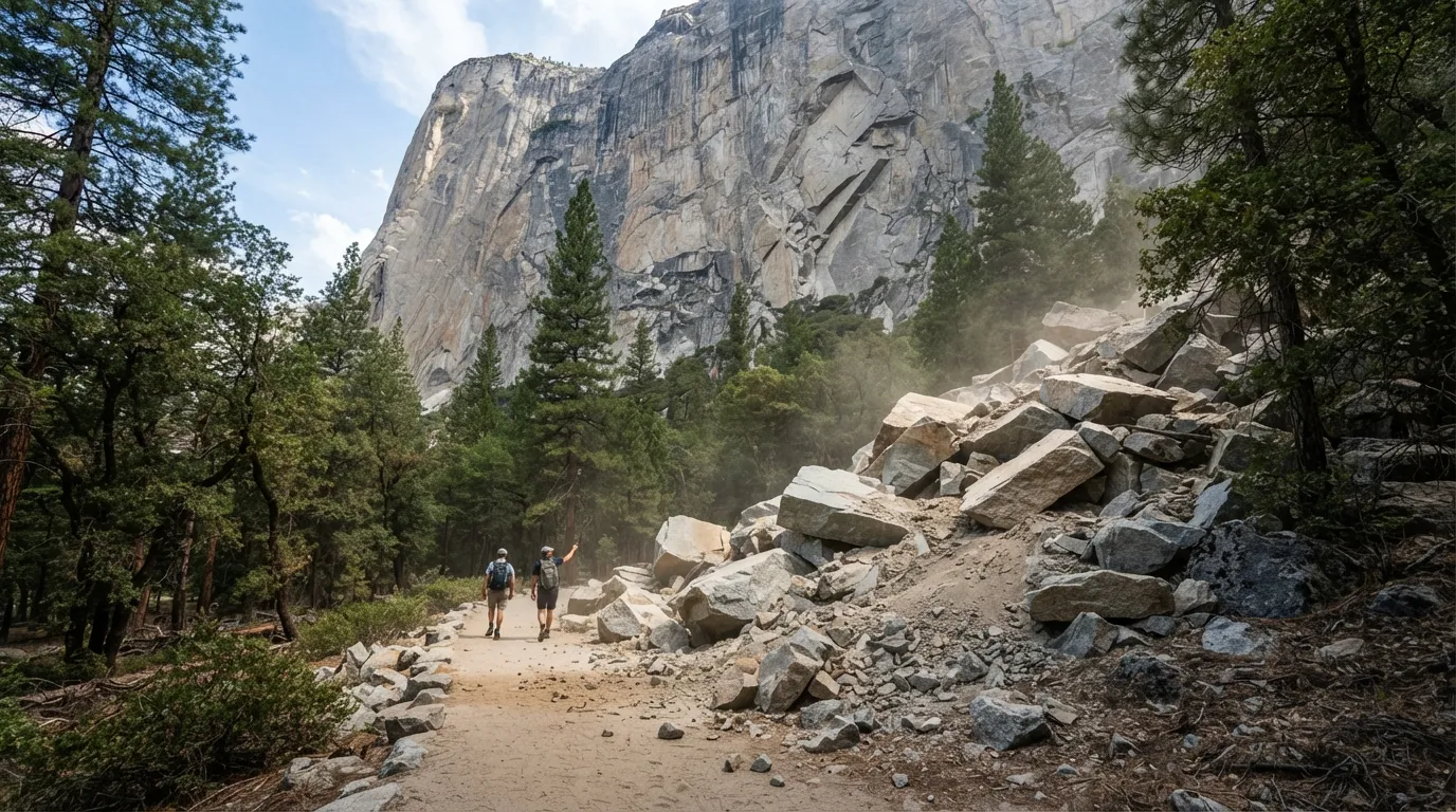
Yosemite’s granite walls look permanent, which is part of the thrill. Then you hear a crack like a rifle shot echo off the cliffs, and the illusion gets shaky. Rockfall is a normal part of life in the valley.
Park geologists study the cliffs and track hazard areas, but they can’t predict every slab that lets go. The places beneath towering walls like El Capitan deserve extra awareness.
Most visitors never see a big one. Those who do tend to describe the same sequence: the sound first, then dust, then a very quiet moment.
Keep moving through posted hazard areas, and save the long snack break for somewhere that isn’t directly beneath a giant cliff.
#13 – Unreliable Springs on High Sierra Trails
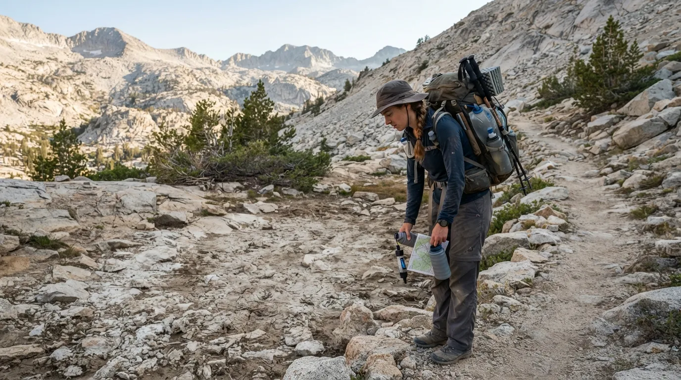
On the map, the spring is a tidy blue mark. On the trail, it can be a dry patch of rock and a long, sinking feeling. In Sequoia and Kings Canyon, late-season drought can wipe out sources that looked dependable on paper.
That matters most on multi-day routes, where your whole plan depends on the next refill. Miss one and the day gets much harder.
Rangers update conditions at permit stations, but things can change between reports. A stream that was flowing last week may be gone by the time you arrive.
Backpackers learn to carry extra water capacity before the last confirmed source. It isn’t glamorous gear, but it turns a dry spring from a crisis into an annoyance.
#12 – Surprise Wildlife Closures in Yellowstone’s Wolf Country
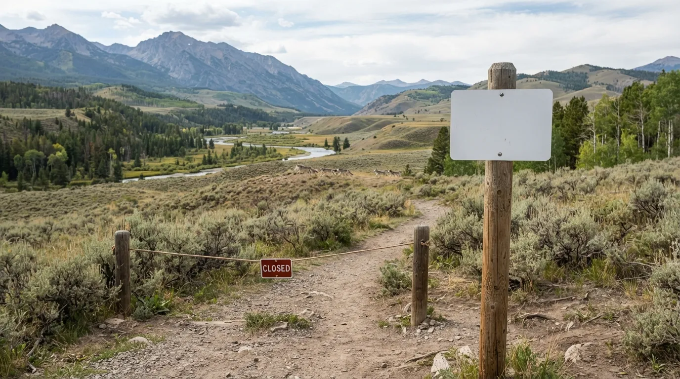
You studied the route the night before, packed your lunch, and drove to the trailhead. Then a closure sign shows up. In Yellowstone, wildlife activity can shut down trails or whole areas with little notice.
Closures are posted for reasons like den sites or carcasses that draw predators. In places such as the Lamar Valley, where wolves are a major draw, animals can reshape your plans.
You may need to reroute on the spot, and that can add miles to a day you thought was settled. The restrictions change as animals move, so repeat visitors check postings each morning.
It’s frustrating for about five minutes. Then you remember the closure exists so the wildlife you came to see can keep living undisturbed.
#11 – Microclimate Shifts on Mount Rainier Trails
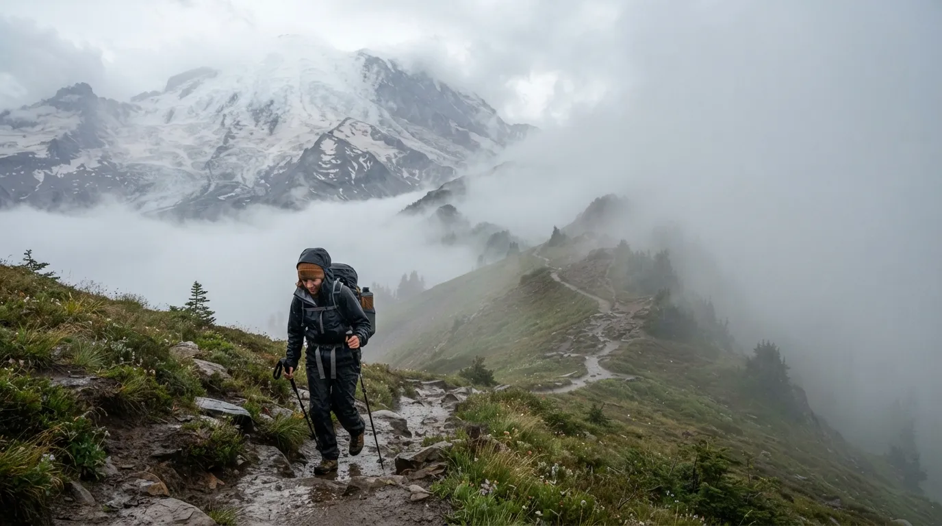
It’s warm and sunny in the Paradise parking lot, so you pack light. Then the trail climbs, and the weather turns into a different story. On Mount Rainier, fog, wind, and temperature can shift sharply within a short distance.
The jacket you thought was overkill suddenly feels like the smartest thing you own. Sunny meadows can become cold, wet ridges before you’ve finished your snack.
Rangers stress checking forecasts for the elevations you’ll actually hike, not just the one where you parked. A weather report for the valley doesn’t tell you what the ridge is doing.
Pack layers, a hat, and something waterproof. The mountain makes its own weather, and it doesn’t care what the parking lot looked like.
#10 – Angels Landing Permits Beyond Scout Lookout in Zion
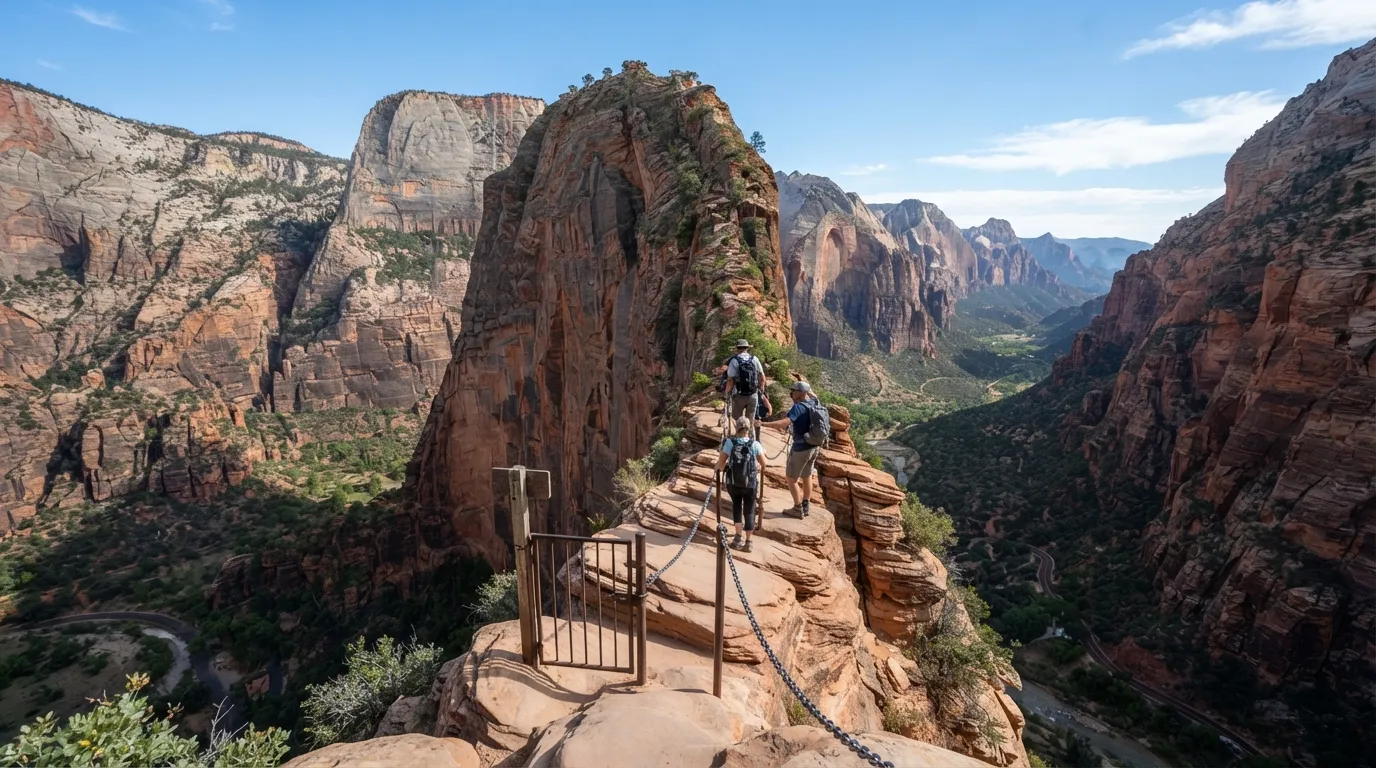
Angels Landing is famous for the chains, the drop-offs, and the view. What surprises people is the gate. To hike the final stretch beyond Scout Lookout, you need a permit.
Zion issues them through a seasonal lottery and a day-before lottery. Plenty of people travel across the country without winning either one.
Quick Compare
- Scout Lookout: roughly 4 miles round trip, no permit required, and big canyon views.
- Angels Landing summit: about 5.4 miles round trip, permit required, with an exposed chain section.
The system exists because the chain section is narrow and exposed, with hikers heading both directions. Fewer people means fewer bottlenecks on a ledge where nobody wants to be stuck.
Without a permit, you can still hike to Scout Lookout, which has its own great views. Many travelers who miss the lottery admit that’s a much better trade than they expected.
#9 – Sand Dune Navigation in Great Sand Dunes
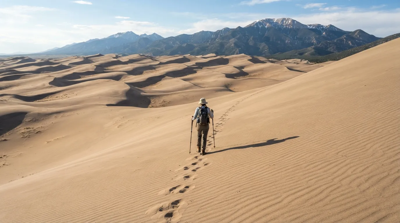
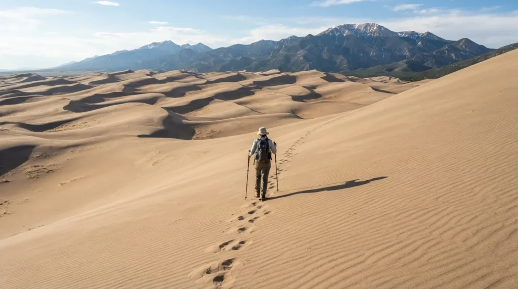
A dune looks like an easy walk until you’re halfway up it. At Great Sand Dunes National Park, there are no marked trails on the dunes themselves, and wind can erase your footprints within hours.
Landmarks matter more than tracks. Hikers pick a distant peak or ridge and keep checking it, because every dune begins to look alike once the parking lot disappears.
Then there’s the sand itself. On summer afternoons the surface can reach around 150 degrees Fahrenheit, so timing and footwear matter.
Carry a map and compass, even for a short loop, and use GPS as a backup. The dunes are beautiful, but they’re also a moving landscape that doesn’t keep your trail for you.
#8 – Cave Temperature Drops in Lava Beds
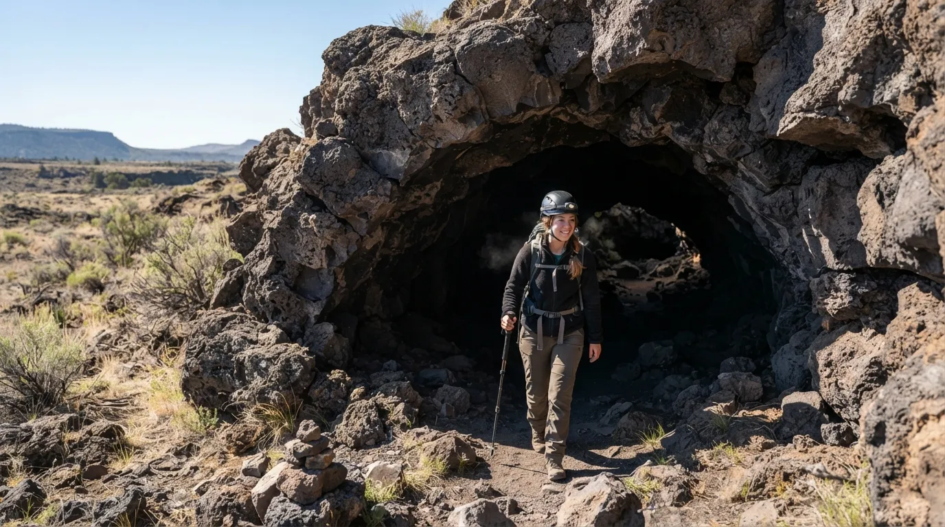
It can be hot and bright outside, and the cave entrance still blows cold air in your face. At Lava Beds National Monument, lava tubes stay cool year-round, regardless of the weather above.
That’s the first surprise. Visitors in shorts and tank tops quickly realize they packed for the parking lot, not the cave.
The second surprise is how much of the experience is physical. Some passages are low and rough, and crawling is part of the adventure. Sturdy shoes, a helmet, and more than one light are smart ideas.
A warm day can turn into a damp chill underground within minutes. Bring a jacket even if the forecast says summer, and you’ll enjoy the tunnels instead of counting the minutes.
#7 – Tidal Timing for Olympic Coast Trails
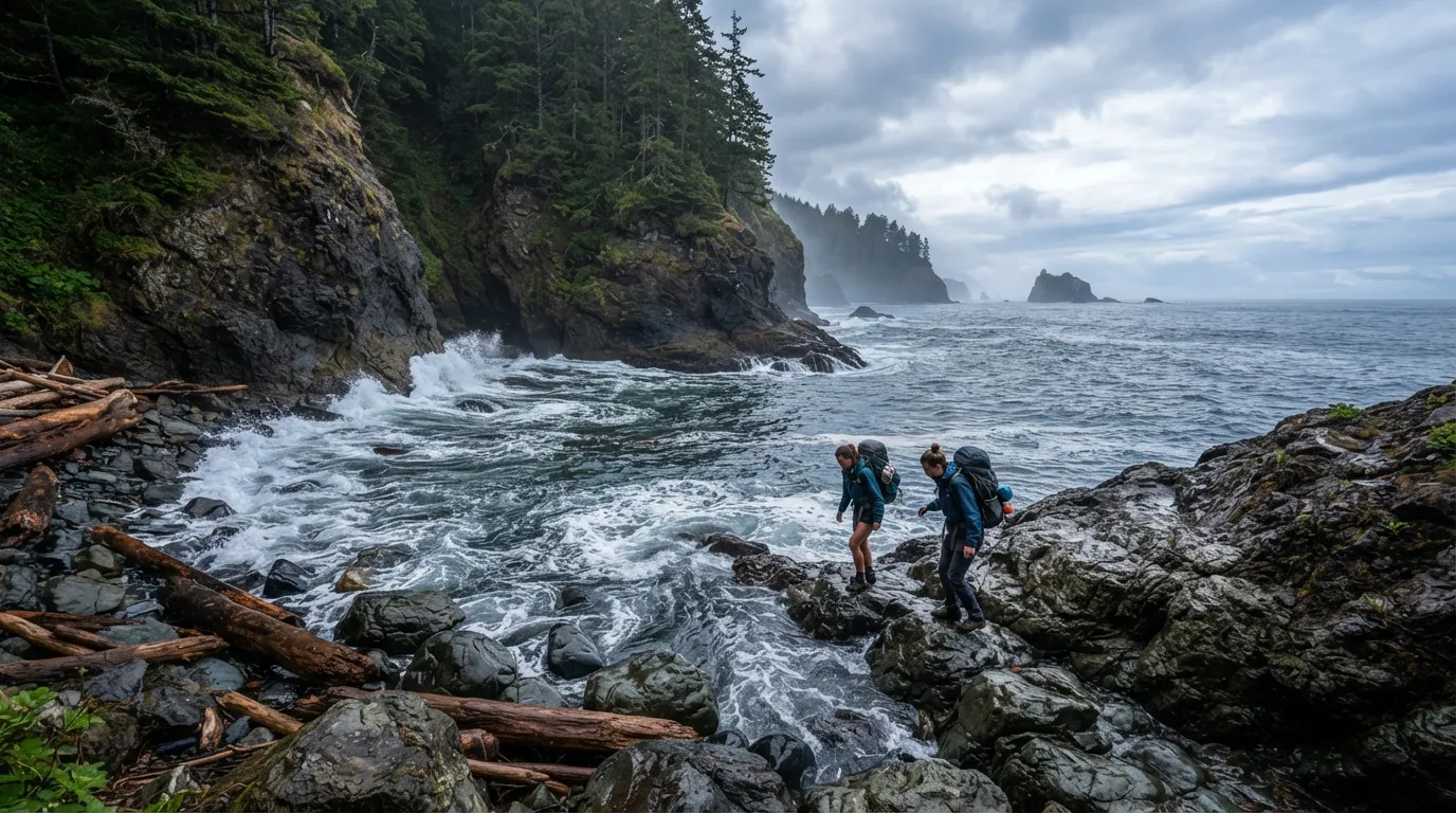
The beach looks wide open and the hike looks simple. Then the tide starts coming in. Along Olympic National Park’s wild coast, some routes pass headlands where the way forward depends on the water.
High tide can trap hikers against cliffs with no easy exit. Waves that seemed far away in the morning can be slapping the rocks by afternoon.
Checking a tide table is as important as checking a map. Rangers and trailhead notices stress it, yet people still underestimate how quickly the water comes in.
Planning around low tide can add hours to an itinerary that looked short on paper. It’s a humbling lesson, and one the ocean teaches without raising its voice.
#6 – Mosquito Season in Everglades Backcountry
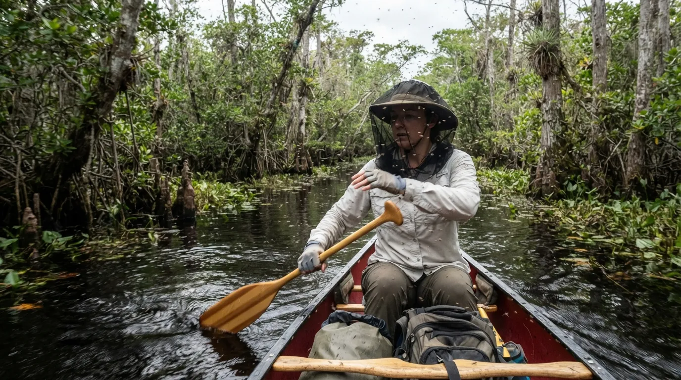
The Everglades looks like a quiet wilderness of water and sky. In summer, it comes with a soundtrack: the whine of mosquitoes. During the wet season, they can make backcountry travel miserable.
That’s why the park’s busy season is winter, when the dry weather brings cooler temperatures and far fewer bugs. Visit in the middle of summer and you may spend your trip waving your hands.
Hikers and paddlers prepare with head nets, long sleeves, and repellent. For some travelers, the bugs matter more than the views.
The lesson is practical: choose your season carefully. In the Everglades, the best trip may be the one that avoids the bugs entirely.
#5 – Trail Etiquette with Pack Animals in Glacier
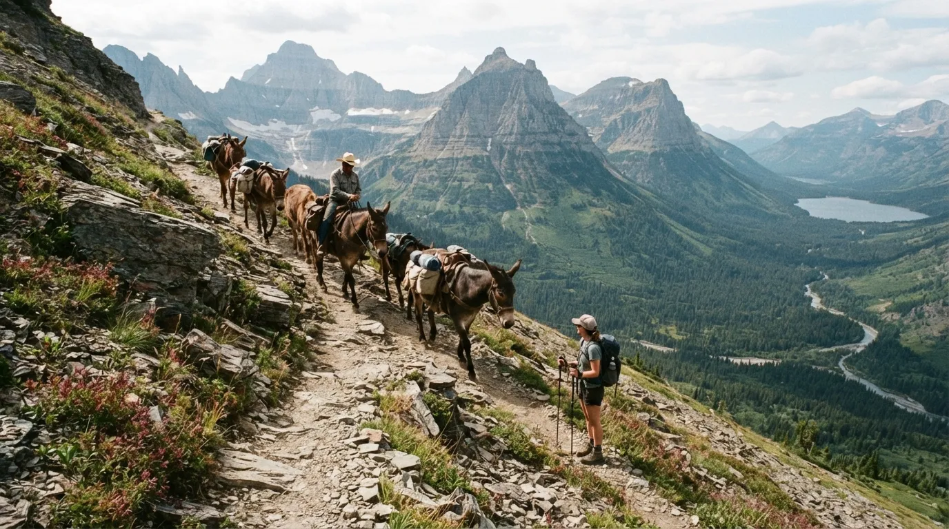
You’re on a narrow trail in Glacier when you hear hooves. Around the corner comes a string of horses or mules, and you have about ten seconds to decide what to do.
The usual guidance is to step off to the downhill side and stay calm while the stock passes. Speaking quietly helps animals recognize you as a person, not a threat.
It feels backward, since uphill seems safer. But standing downhill keeps you lower than the animals and gives them a clear path.
On steep switchbacks, getting it wrong can spook the stock. After one encounter on a tight section of trail, most hikers never forget the protocol.
#4 – Seasonal Bridge Washouts in Yosemite
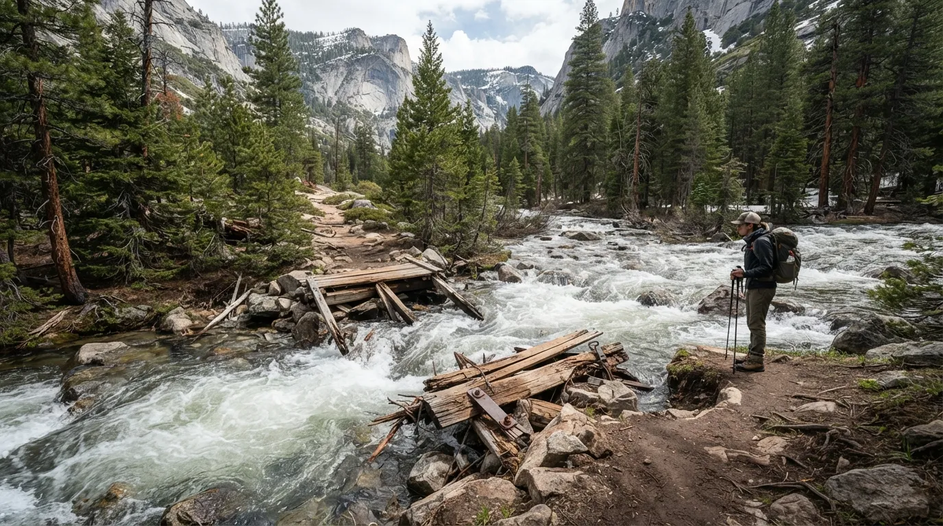
The trail map shows a clean line across the creek. The trail itself shows a rushing stream and a missing bridge. In Yosemite, spring runoff can wipe out crossings or force long detours.
Rangers post notices at trailheads, but snowmelt doesn’t follow schedules. Conditions can change between your last visit and your next.
When a bridge is gone, the decision falls to you. Hikers have to judge the depth and speed of the water before attempting a crossing, and sometimes the right answer is not to cross.
It also adds time that day hikers rarely budget. A missing bridge can turn an easy loop into a long afternoon of problem solving.
#3 – Lightning Exposure on High Ridges in Rocky Mountain
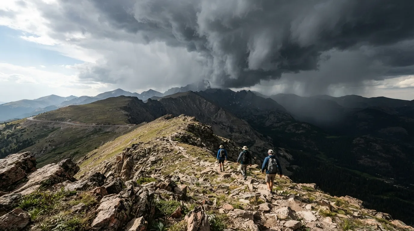
Rocky Mountain mornings are often calm and bright. By afternoon, clouds can stack up above treeline, and the weather can turn quickly. Exposed ridges leave hikers with very little shelter.
That’s why rangers advise starting early and getting below treeline by around noon on many routes. The goal is to be off the high ground before storms build.
Worth Knowing
- Trail Ridge Road tops out at 12,183 feet, well above treeline.
- Longs Peak stands at 14,259 feet, which is why climbers start in the dark.
- Pick a turnaround time before you leave the car, and honor it even when the summit looks close.
- Dark, building clouds are your cue to descend, not to finish the snack.
It surprises people who assume that open space is safe. Up high, you’re often the tallest thing around, and there’s nowhere to duck.
Watching the clouds becomes a skill. Hikers who have made one fast retreat down a ridge tend to check the sky constantly afterward, and they rarely complain about early alarms.
#2 – Quiet Hours in Yosemite and Grand Teton Campgrounds
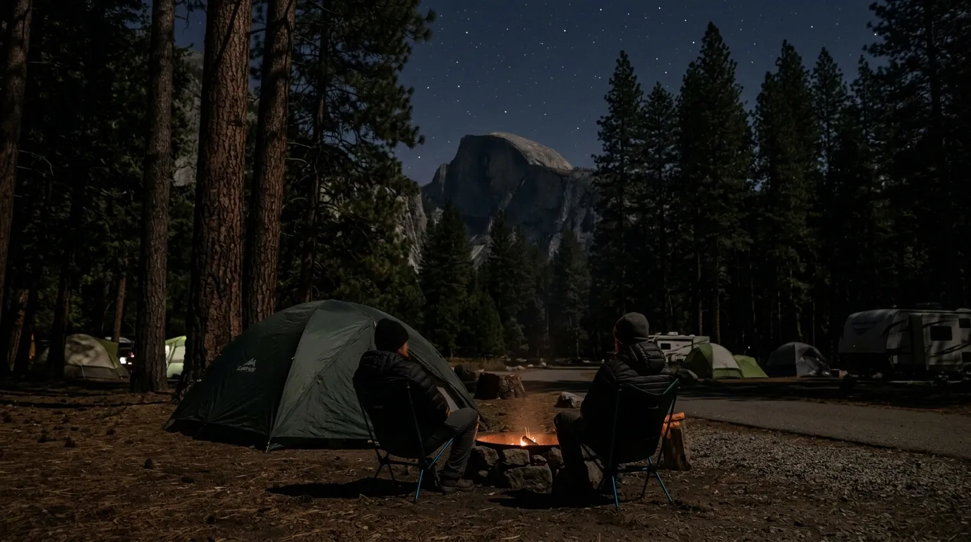
A campground can feel like a tiny village. People are close, sounds carry, and the stars make everyone want to talk late. But in parks like Yosemite and Grand Teton, quiet hours are real, typically from 10 p.m. to 6 a.m.
Rangers patrol, and noise can bring a citation. Groups that treat the campground like a private party can be surprised by a flashlight at the campsite edge.
Still air makes it worse. Laughter and music carry farther than you expect, and neighbors may be trying to sleep before an early hike.
Knowing the rules keeps the trip peaceful. A trip can be cut short over noise, and nobody wants that to be the story they tell later.
#1 – No Cell Service on Grand Canyon Inner Canyon Trails
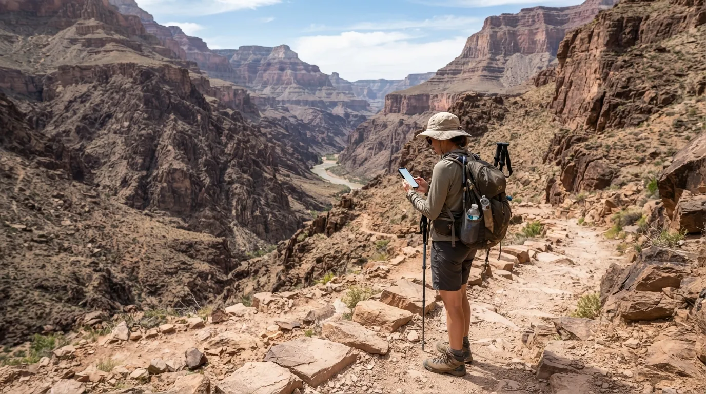
You hike below the rim, check your phone, and the bars vanish. In the Grand Canyon’s inner canyon, cell service is unreliable at best, and that changes the whole feel of the trip.
Apps freeze without signal. Maps don’t load. The little convenience you rely on in town becomes useless when you most need it.
That’s why rangers stress preparation. Carry a paper map, tell someone your plan, and consider a satellite device for emergencies.
The quiet is part of the beauty, but it comes with responsibility. Once the last bar fades, every decision is yours, and that may be the most important thing nobody tells you about the trail.
CEO-Co-Founder