
- 15 Songs That Sparked Generations of Activists - October 23, 2026
- 20 Books That Brought American Myths to Life - October 23, 2026
- The True Origins of America’s Greatest Rock Bands - October 23, 2026
Some trail names sound like a sweaty, all-day mission, and the official park service numbers say otherwise. These 15 routes have short distances, small elevation gains, and maintained surfaces, so they take far less effort than the postcards suggest.
The list includes some of the biggest names in the park system. One trail is even rated moderate and still earns a spot, and the last one on the countdown is the likeliest to fool you with its rugged reputation. Start with the shortest stroll and watch the “hard hike” idea fall apart.
#15 – Balanced Rock Trail, Arches National Park
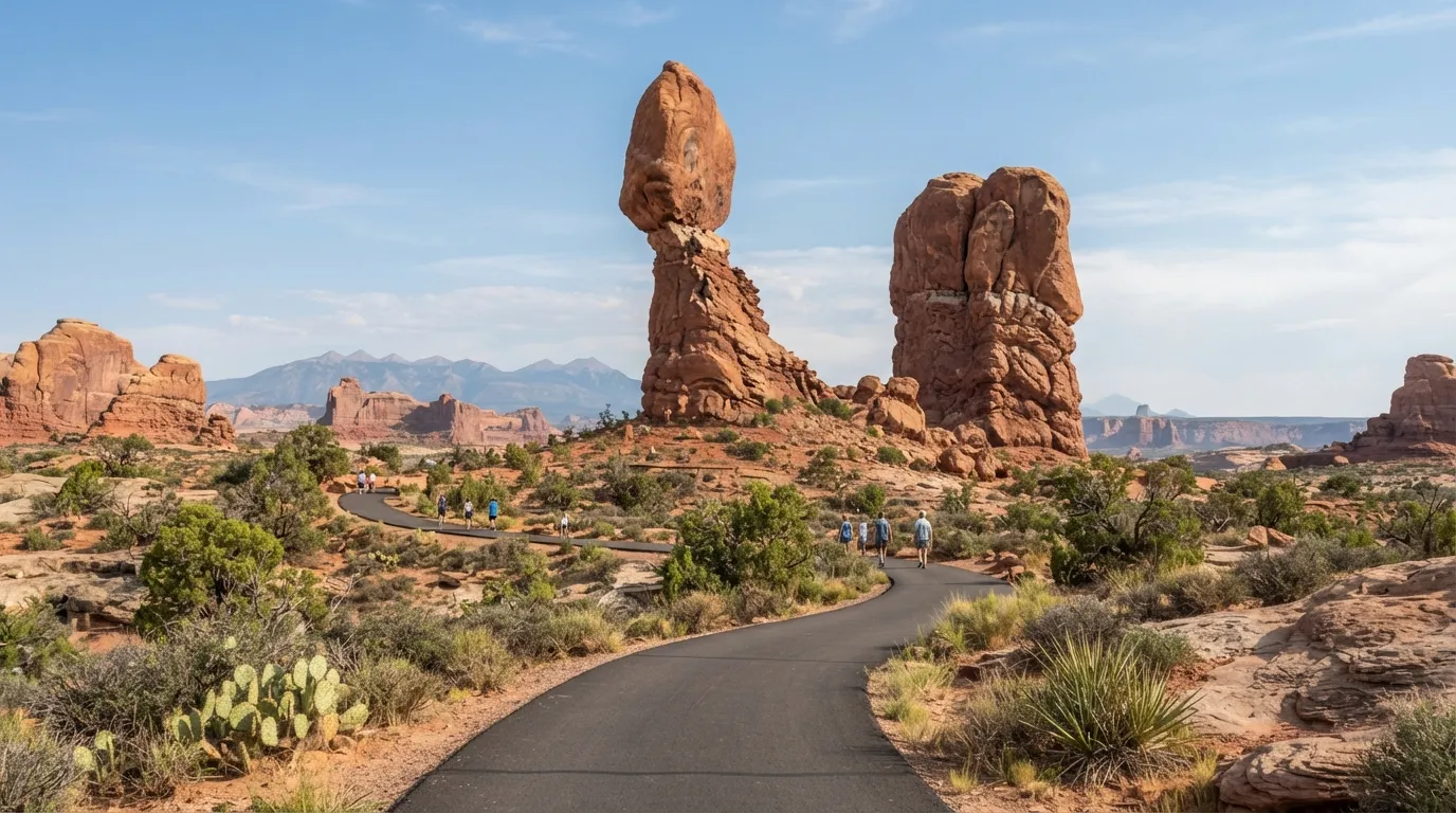
Many hikers expect a scramble to reach one of Arches’ most photographed formations. The NPS rates this paved loop easy, and the numbers back that up.
It is 0.3 miles round trip with just 30 feet of elevation gain, and most people finish in about 15 minutes. You get close-up views of the balanced rock with no steep sections or loose terrain, and the short, flat path is easy even on a hot day.
The next trail has a name that sounds much tougher.
#14 – Mesa Arch Trail, Canyonlands National Park
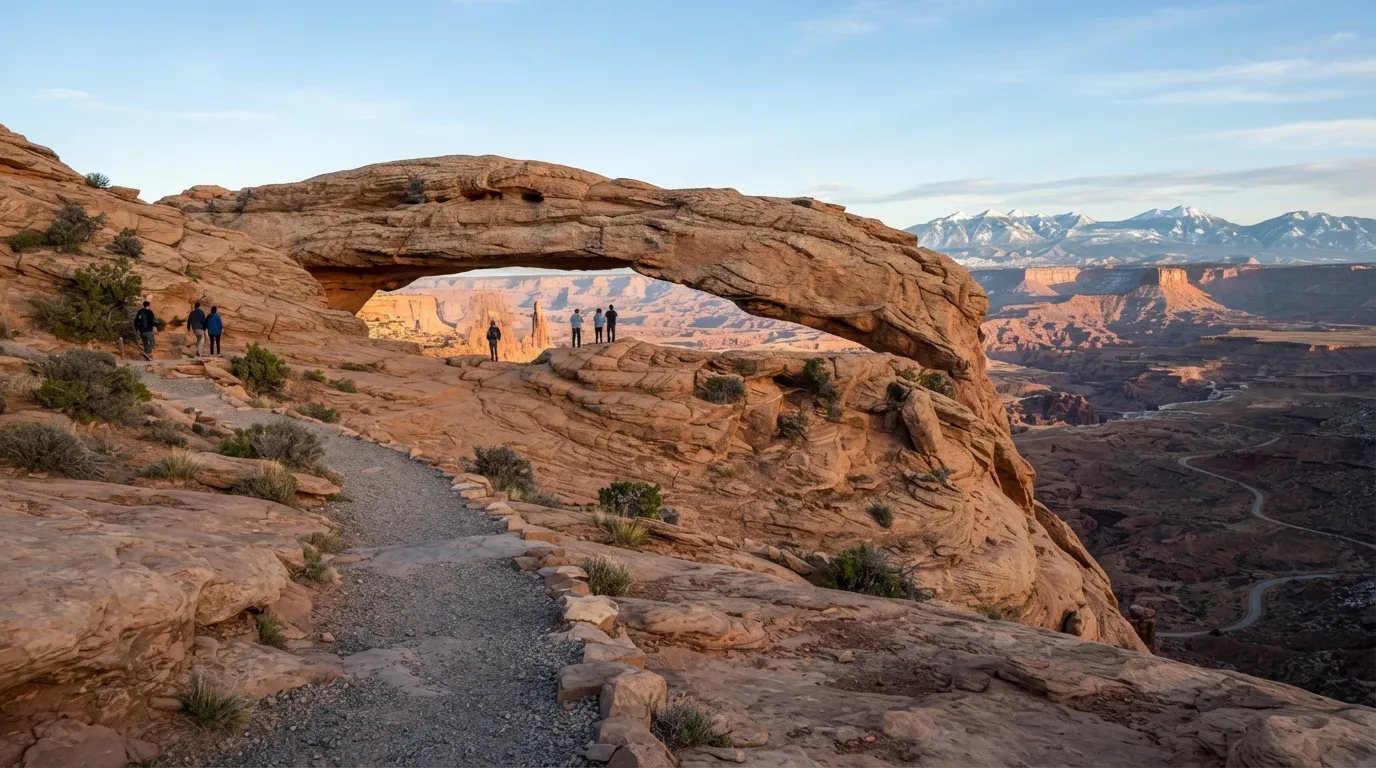
The name suggests a rugged trek to an arch perched on a cliff edge. The NPS lists it as easy, with limited gain despite a few slickrock sections.
This 0.5-mile loop climbs only 80 feet on gravel and slickrock, and most hikers finish in about 30 minutes. The climb may feel steeper than the numbers suggest, but it’s short enough for most visitors.
At the top, the arch frames the White Rim and the La Sal Mountains. The next waterfall may be closer than you think.
#13 – Lower Yosemite Fall Trail, Yosemite National Park
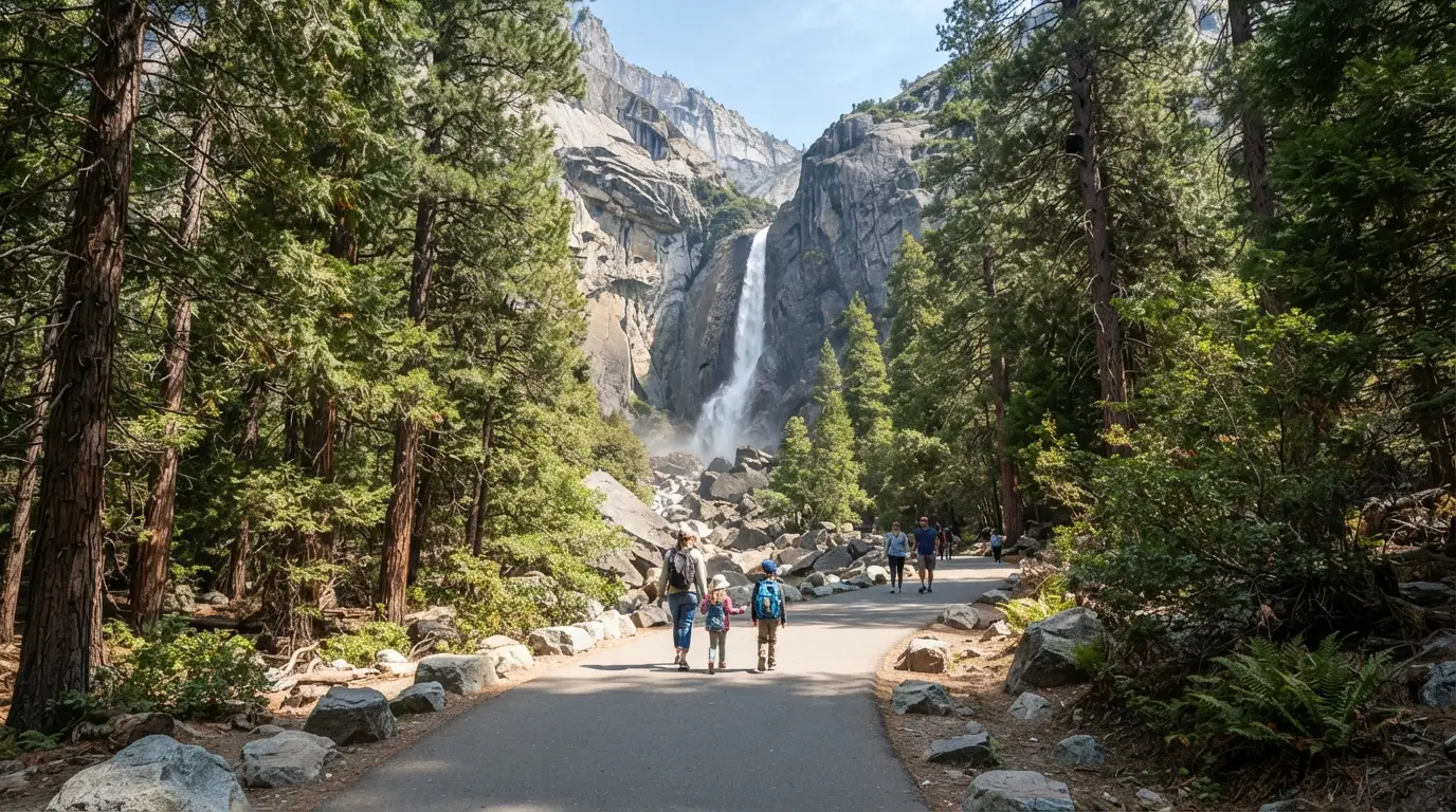
Visitors often picture a long trek to reach Yosemite’s most famous waterfall. The NPS rates the lower section as easy, on a paved path with minimal change.
The loop is 1.2 miles with roughly 50 feet of elevation gain, and most people finish in 30 to 45 minutes. You get solid views of the lower falls without the effort of the upper trails.
The paved surface and gentle grade make it manageable with young children or limited mobility. The next trail drops the elevation entirely.
#12 – Anhinga Trail, Everglades National Park
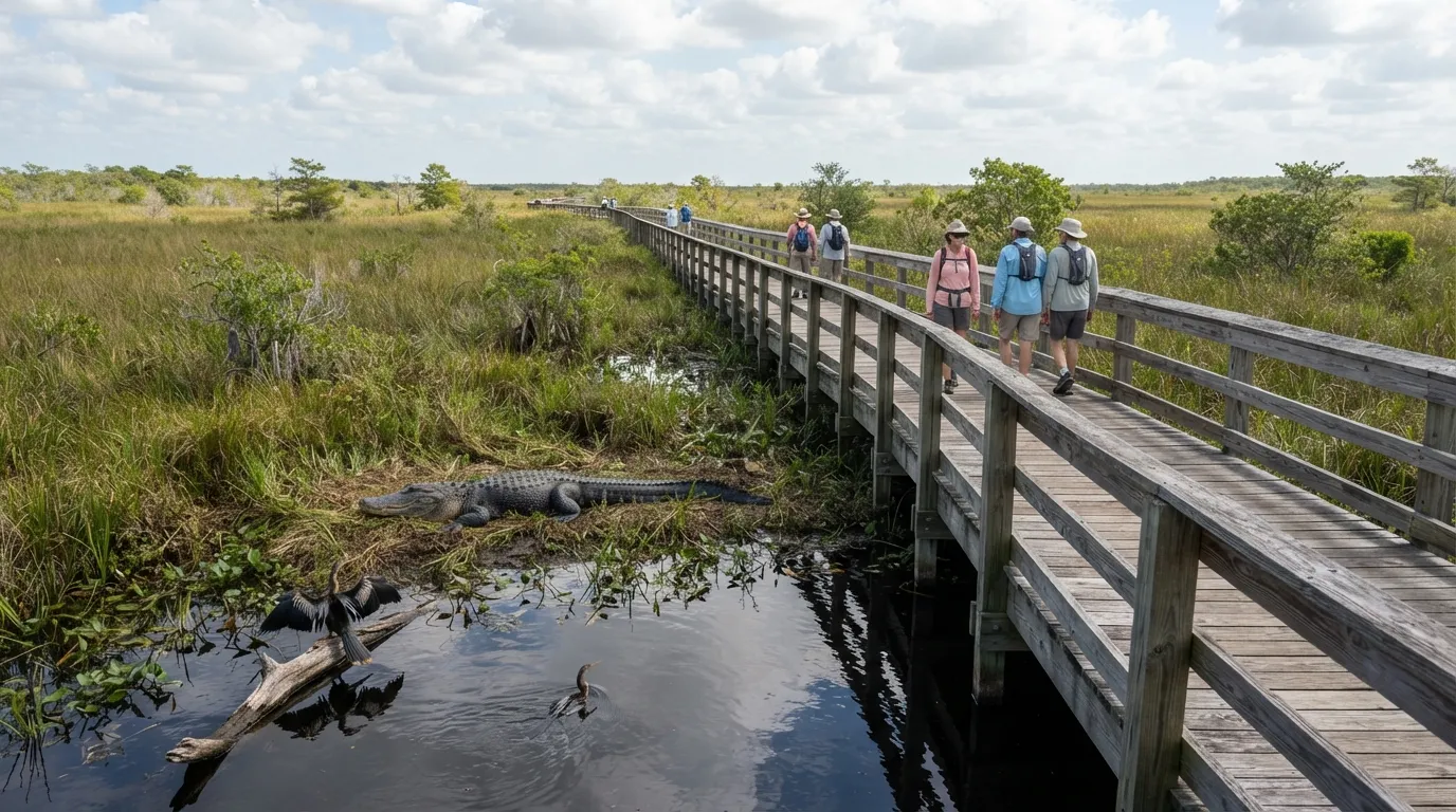
A boardwalk through wetlands sounds simple until you picture the wildlife and the remote feel. The NPS describes it as easy and flat, with no elevation issues.
This 0.8-mile round trip stays level on a boardwalk, and the walk averages 30 minutes. Alligators and birds appear regularly along the route, so you’re watching wildlife more than watching your step.
Worth Knowing
- The boardwalk keeps you on a flat, defined route, so there’s no navigating or scrambling.
- Wildlife viewing is the main event, so slow down and let the animals set the pace.
- Shade can be limited in open wetland, so water and sun protection matter more than hiking skill.
- Keep a respectful distance from alligators and never feed any wildlife.
With zero elevation gain, it’s one of the most forgiving trails in any park. Next, a forest that looks tougher from the parking lot.
#11 – Trail of the Cedars, Glacier National Park
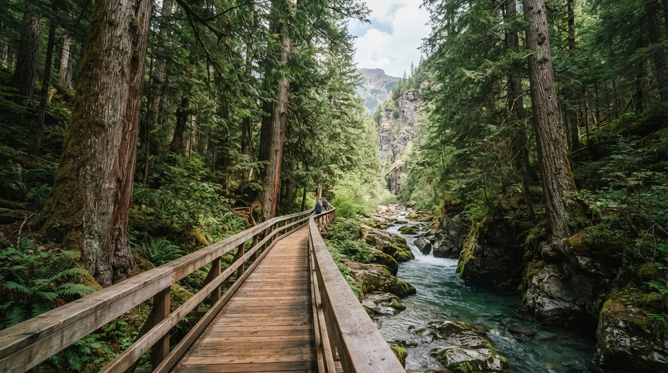
Old-growth forest and a boardwalk through a narrow canyon can look more demanding from the parking area than they are. The NPS rates the trail easy, with very little change in elevation.
The loop runs 0.9 miles with about 60 feet of gain, all on boardwalk, and takes about 30 minutes. You walk in the shade past Avalanche Creek and towering cedars.
The maintained surface removes most footing worries, even after rain. Next, a lake where altitude is the real question.
#10 – Bear Lake Nature Trail, Rocky Mountain National Park
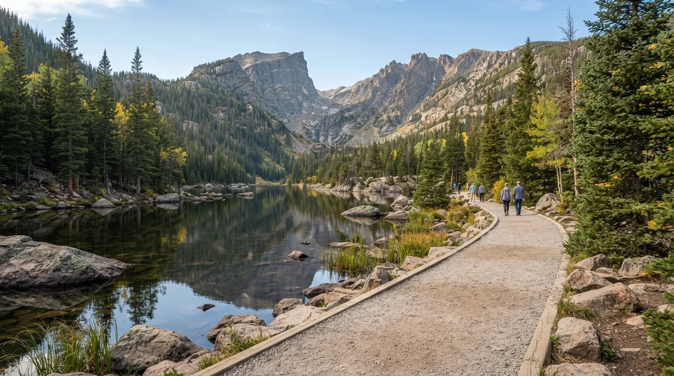
At high altitude, even a short walk can leave you breathless. The NPS lists this one as easy, with almost no gain around the lake.
The 0.5-mile loop gains just 20 feet on packed gravel, and most people finish in 20 minutes. It circles a scenic alpine lake with mountain reflections.
The short distance and tiny climb keep your breathing comfortable despite the elevation. Next, a rim walk that sounds scarier than it is.
#9 – Sunrise Point Trail, Bryce Canyon National Park
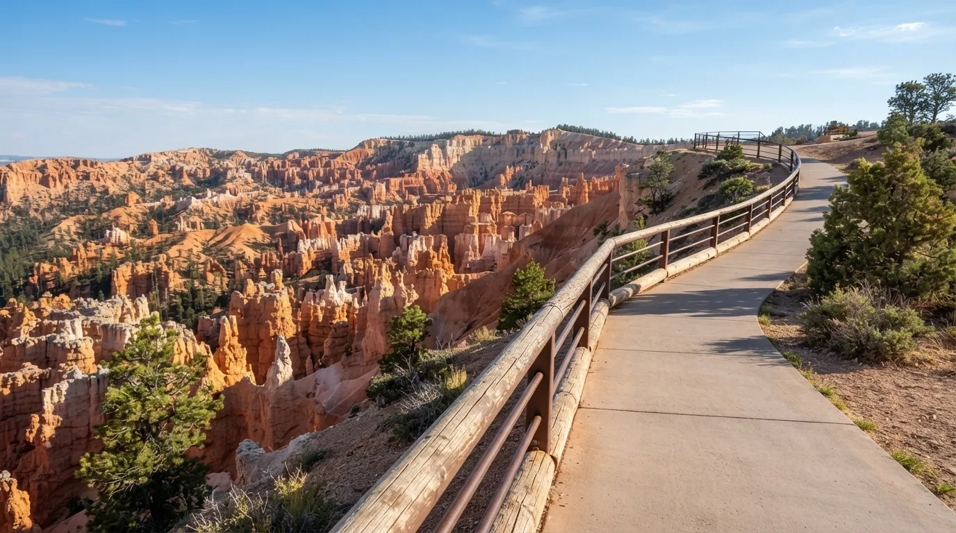
A walk along the rim suggests exposure and steep drops. The NPS calls the short section to the viewpoint easy and paved.
This 0.5-mile out-and-back gains 50 feet on pavement and takes about 20 minutes. It delivers classic hoodoo views without descending into the canyon.
It’s the scenery without the real effort. The next overlook’s name promises more than the walk delivers.
#8 – Grand View Point Trail, Canyonlands National Park
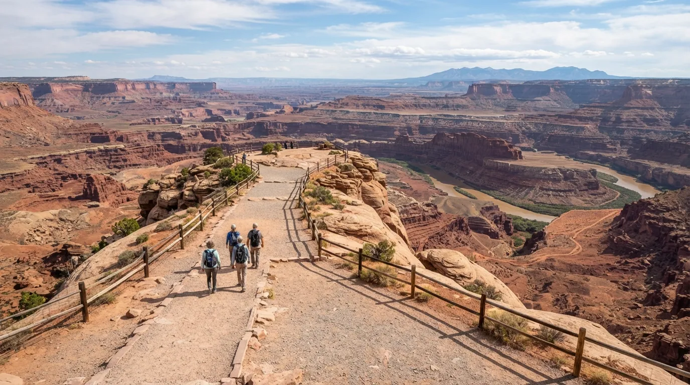
The name implies a long or steep approach to a huge view. The NPS rates the trail easy, with low gain on gravel.
The 1.0-mile out-and-back gains 50 feet, and hikers typically take about 30 minutes. It ends at a broad vista over the Island in the Sky district.
Quick Compare
- Boardwalk: Anhinga (0.8 miles), Trail of the Cedars (0.9 miles), Old Faithful Loop (1.3 miles)
- Paved: Balanced Rock (0.3 miles), Sunrise Point (0.5 miles), Lower Yosemite Fall (1.2 miles), Riverside Walk (2.2 miles)
- Gravel or natural surface: Bear Lake (0.5 miles), Mesa Arch (0.5 miles), Grand View Point (1.0 mile)
A gentle grade and a short walk sit in sharp contrast to the dramatic setting. Next up, geysers.
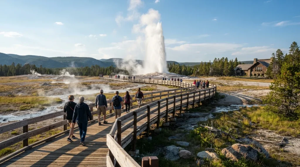
#7 – Old Faithful Geyser Loop, Yellowstone National Park
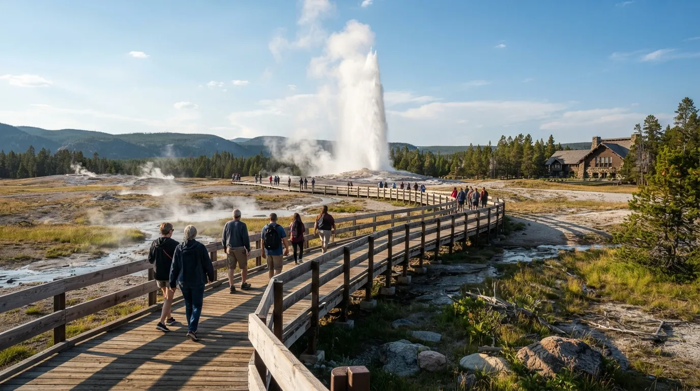
Boardwalks around active geysers can look crowded and complicated. The NPS rates the loop easy and mostly level.
This 1.3-mile loop gains about 20 feet on boardwalk and averages 45 minutes. It passes multiple geothermal features, including the famous geyser itself.
The flat, accessible path lets you focus on the eruptions instead of the hike. Next, the only trail on this list rated moderate.
#6 – Canyon Overlook Trail, Zion National Park
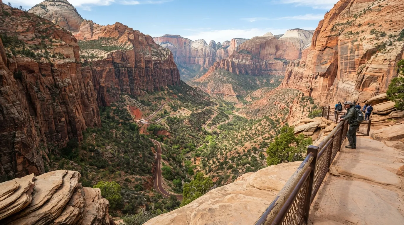
The trail name and canyon setting suggest exposure and climbing. The NPS rates this one moderate, though it is short with limited overall gain.
The 1-mile round trip gains 163 feet on a maintained path, and most people finish in under an hour. It ends at a viewpoint over the canyon switchbacks.
The initial climb takes some effort, but the short distance keeps the total work low. Next, a river walk that looks longer than it is.
#5 – Riverside Walk, Zion National Park
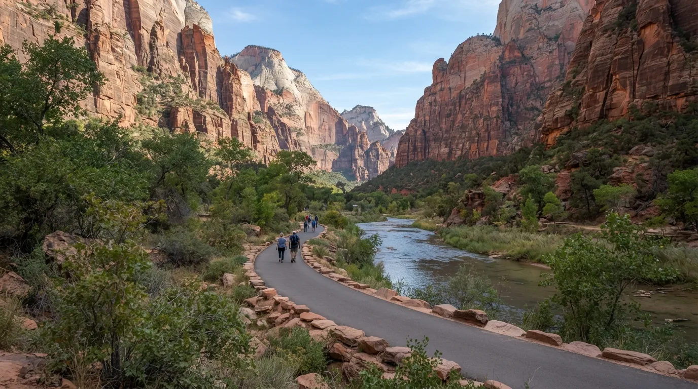
The paved path along the Virgin River can look deceptively long from the shuttle stop. The NPS lists it as easy, with under 200 feet of total change.
The trail runs about 2.2 miles round trip on pavement and takes roughly an hour. It follows the river into the narrowing canyon.
The steady surface and gentle slope make the full length feel shorter than expected. Next, a rainforest with a muddy reputation.
#4 – Hall of Mosses Trail, Olympic National Park
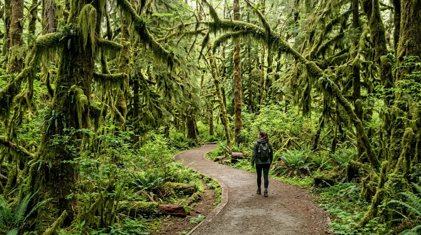
Rainforest trails often carry a reputation for mud and roots. The NPS rates this short loop easy, on a maintained path.
The 0.8-mile loop gains under 100 feet through old-growth forest, and most people finish in 30 to 45 minutes. Moss-draped trees and ferns surround you almost the whole way.
The well-graded surface stays relatively dry under the canopy. The next three trails are all in one park.
#3 – Goosenecks Trail, Capitol Reef National Park
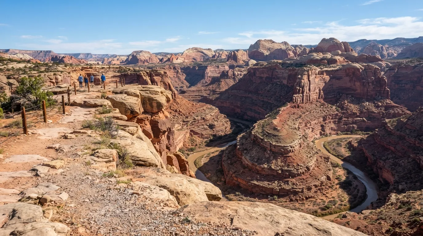
The viewpoint name suggests a long descent into the canyon. The NPS rates the trail easy, with almost no elevation change.
This 0.1-mile out-and-back changes less than 50 feet and takes under 15 minutes. It reaches a dramatic overlook of the canyon bends.
It’s so short that it may be the quickest high-reward stop in the park system. The next one is almost as brief.
#2 – Sunset Point Trail, Capitol Reef National Park
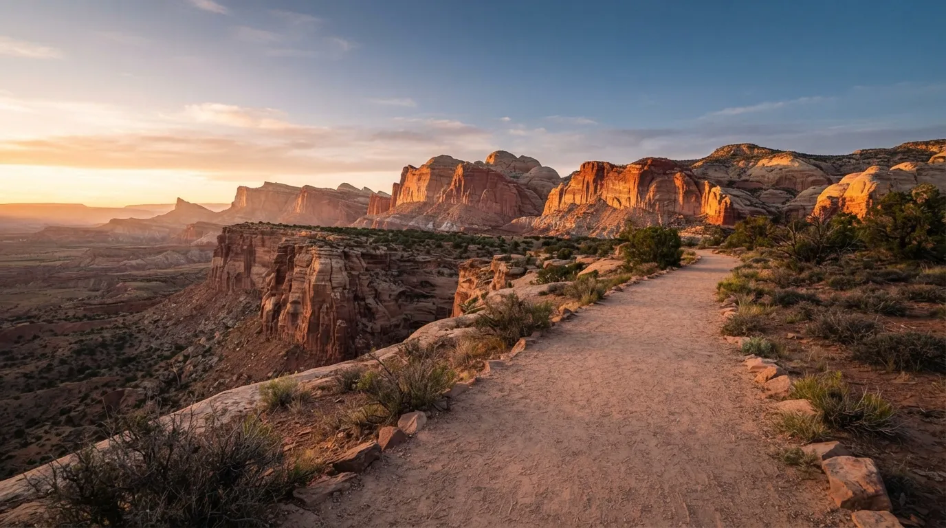
A sunset viewpoint can sound like it takes careful timing and real effort. The NPS lists it as easy, with minimal gain on a short path.
The 0.4-mile out-and-back changes less than 50 feet and takes about 20 minutes. It offers sweeping views of the cliffs at golden hour.
The level path lets you focus on the light instead of your footing. Now for the one with the scariest name.
#1 – Capitol Gorge Trail, Capitol Reef National Park
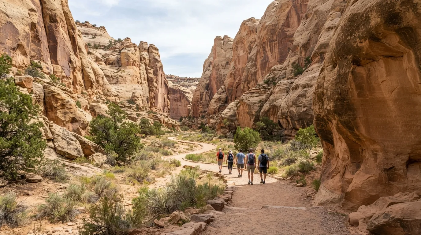
A gorge setting sounds like a rugged slot canyon slog. The NPS rates the initial section easy, with only modest gain.
This 1.0-mile one-way section gains 80 feet along the canyon floor, past historic inscriptions, and takes about 45 minutes one way. It leads to waterpockets, with a short optional climb if you want it.
The flat canyon bottom keeps the walk far easier than the surrounding cliffs suggest.
Why It Stands Out
- It’s the longest of the three Capitol Reef trails on this list, at 1.0 mile one way.
- The elevation gain is just 80 feet, spread along a canyon floor.
- Historic inscriptions give you something to look at on the way.
- The waterpockets at the end are a reward, and the optional climb is up to you.
Across all 15, the pattern is hard to miss: the reputation often outruns the numbers. Short distances, low elevation gains, and maintained surfaces turn some of America’s most dramatic scenery into quick, rewarding walks.
Know another trail that looks tougher than it is? Drop it in the comments.
CEO-Co-Founder